Mini-course Autodesk Revit 2025: Point Cloud in Ukrainian
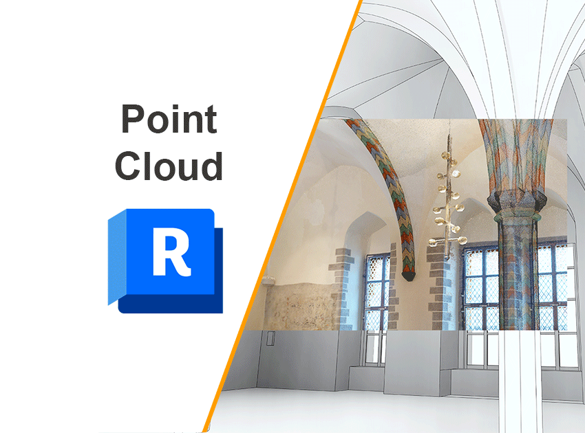
This mini-course introduces the basic principles of working with point clouds in Revit. It briefly explains how to correctly align a point cloud with project coordinates or a geodetic system to avoid positioning errors in models, as well as what to pay attention to when preparing and setting up the project for effective work.
The course also outlines general modeling principles based on point cloud data, including an example of creating a building cornice from scanned data.
The course is intended for architects, engineers, and BIM specialists who are starting to work with geospatial data and scanned objects in Revit.
Access to the course is free upon registration on the website.
Language: Ukrainian
Format: Pre-recorded video
Duration: 0.5 hours
Instructor: Illia Horodnytskyi